4 Scenic Waterfall Hikes Near Marquette, Michigan
Updated: October 2022
Are you looking for waterfall hikes nearby?
There are hundreds of waterfalls in the Upper Peninsula of Michigan. HUNDREDS. I’m not sure I’ll ever see them all but might as well try! There’s so much more elevation change throughout this region making waterfalls plentiful, and one of the area’s biggest natural attractions. In Marquette alone, there is a handful to see; and as long as you have decent hiking shoes (I have these & these), you can reach most of the falls near Marquette easily via hiking trails. Don’t worry if you visit during the fall or winter, the waterfalls are still flowing. I’ve visited most of these falls in different seasons so layer up and enjoy the view no matter the temperature outside.
Waterfalls You Have to See Near Marquette, Michigan
Alder Falls
Alder Falls - Marquette, Michigan
Alder Falls are furthest from Marquette but worth the trek. From Marquette, head towards Big Bay on County Road 550 for 30 minutes. Turn left on Alder Creek Truck Trail. which is right before Alder Creek. Signage is minimal so keep your eyes peeled. The truck trail starts off relatively smooth but I personally wouldn’t go the entire way back to the falls unless you have a 4wheel drive vehicle because the road can be difficult to navigate when muddy or covered in inches of snow. Once you reach the small signs for Alder Falls the hike is a very steep path downhill. We hiked to the falls in the middle of winter and it was doable but challenging. When you reach the bottom, there is a flat area to take a break, drink some water, and enjoy an impressive view of the falls. This would be a great hike in the summer obviously but the 30-foot drop is beautiful even in the freezing cold.
Yellow Dog Falls
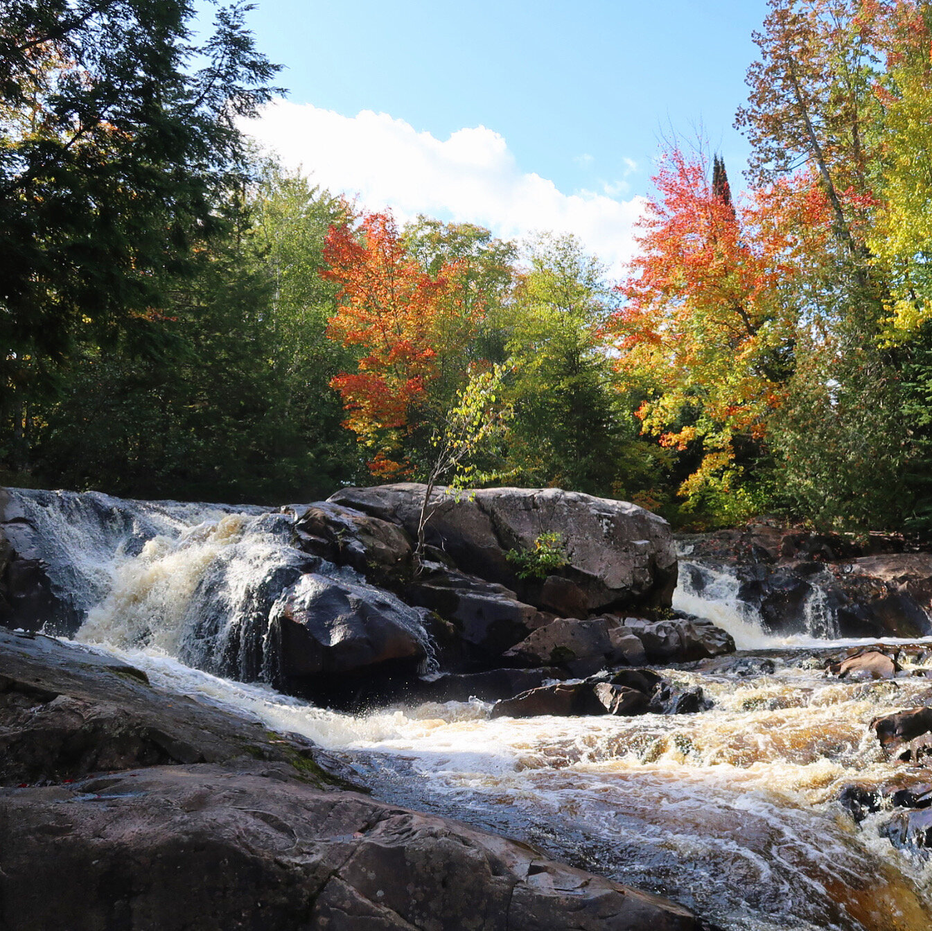
Yellow Dog Falls in October
This series of waterfalls is one of my favorites near town because it doesn’t get too much traffic and it is really easy to visit. To get there, take County Road 550 towards Big Bay for 30-40 minutes. Turn left on Co Road 510. You’ll pass another beautiful hiking loop with a great view of Big Bay called Thomas Rock Overlook. It is worth a stop if you have the time. Continue on 510 until you see Bushy Creek Truck Trail and turn left. You’ll cross a small bridge and see a parking area to your left. Head down the trail and you’ll see the trail map and other information about the area. There are several falls on the Yellow Dog so you can hike as long as you desire.
Yellow Dog Falls near Marquette, Michigan
The first one is one of the most impressive and takes about 45 minutes to hike too. Most of the trail is flat and hugs the river but there are a few instances where you’ll need to traverse large boulders on the trail. I hiked this one at 6 months pregnant without too much trouble but just be mindful of the stamina of your group.
Dead River Falls
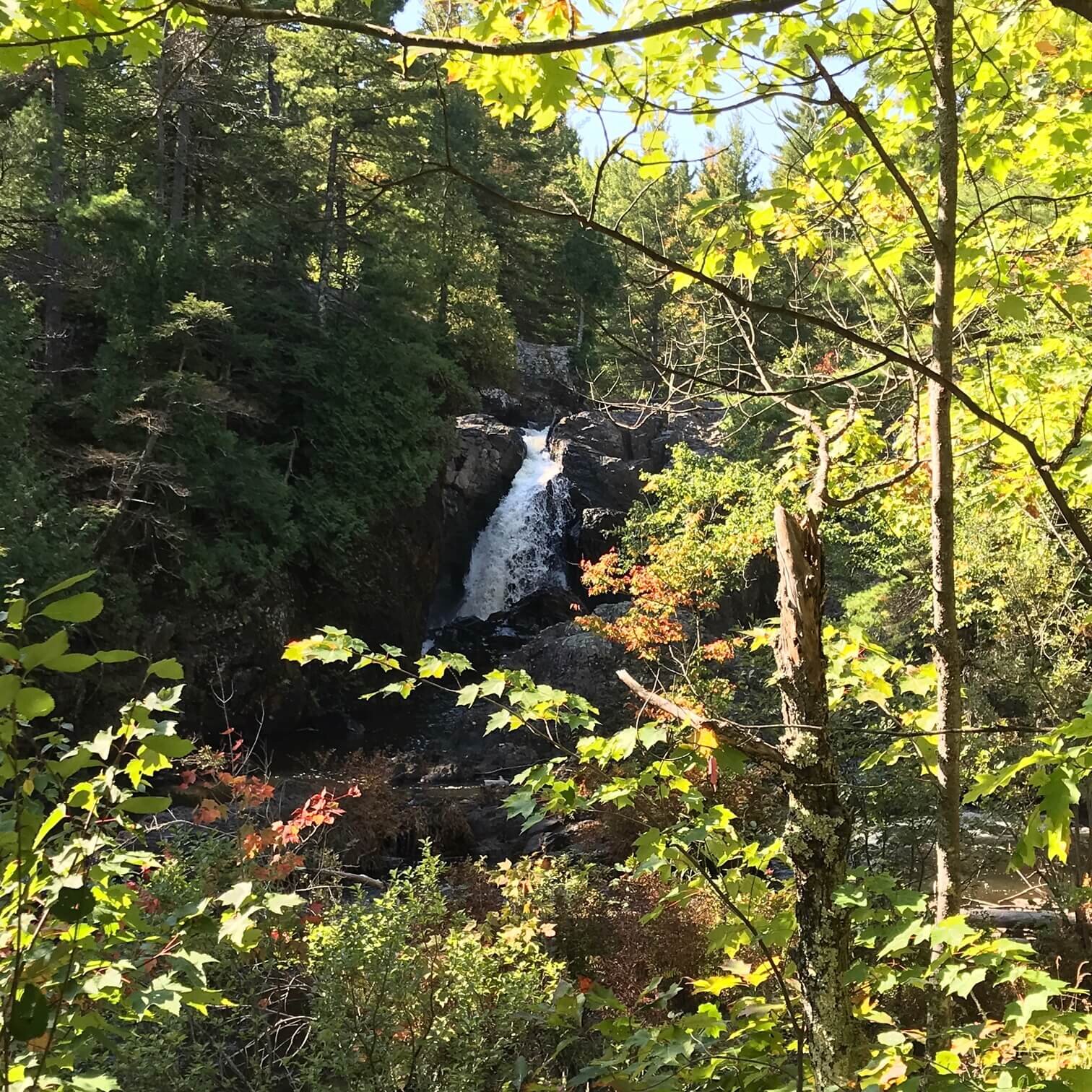
Dead River Falls in Marquette, Michigan
Dead River Falls is by far the easiest to visit if you’re in Marquette and is a good option if you don’t have a ton of time to commit to an outdoor adventure. To get there, head out of Marquette on Wright Street, turn right on Forestville Basin Trail, and veer to the left to stay on Forestville Road until you see the power plant. Park on the right-hand side and follow the path up the hill and you’ll see a set of stairs on your left; you should be able to hear the first set of falls as you go down the stairs. The hike to the first set is relatively easy, just mind roots and rocks. There are several drops at Dead River Falls and the journey gets more challenging as you continue on the trail. Keep a close eye out for little ones and dogs hiking with you because the rocks can be quite slick, and the trail is very steep at times. That being said, Dead River Falls is one of the most beautiful hikes in the area.
Dead River Falls in Marquette, Michigan
Rock River Falls - Alger County
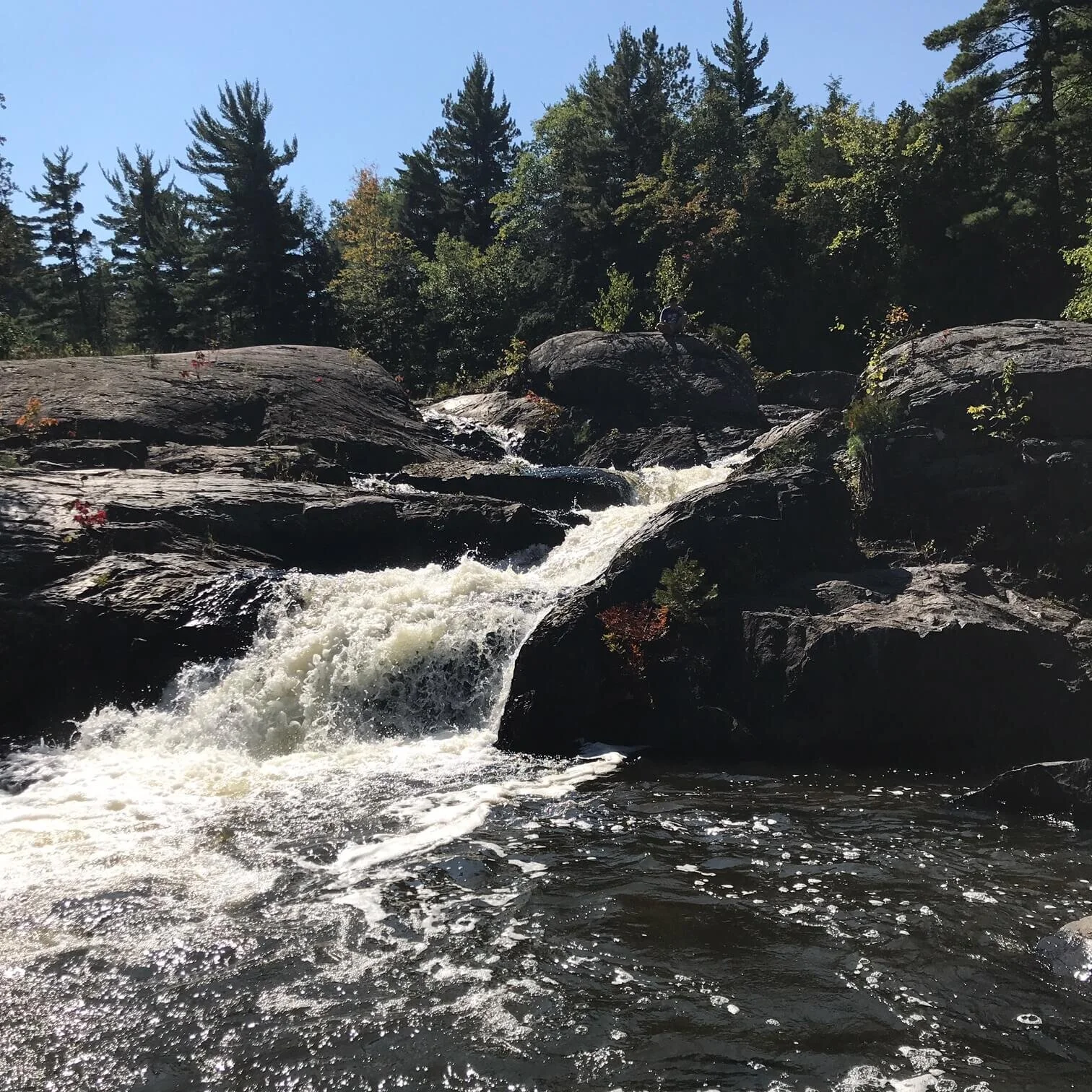
In between Marquette and Munising, Michigan is Rock River Falls. It is way off the beaten path, in fact, you have to drive down several old logging roads to reach the parking area in the Rock River Wilderness area in the Hiawatha National Forest. Don’t let the time discourage you from going; it is worth it if you have an afternoon to dedicate to a waterfall adventure. If you plug in the coordinates 46.41111N 86.97528W into your navigation you’ll be able to find the parking area.
Rock River Falls near Marquette, Michigan
From Marquette, it takes about 30 minutes or so to get to the logging roads. Once you turn off the main roads it’s probably another 30 minutes or so depending on the road conditions. When we went there were lots of downed limbs so it took us a while to get back.
Hiking to Rock River Falls near Marquette, Michigan
The trail is relatively easy on the way in as it is mostly downhill. The trail will be really muddy if there’s been a lot of rain but there are boardwalks throughout the boggy areas of the trail. This was one of the first long day trips we did with our daughter Fern and we had a great time. Sidenote: This backpack is amazing if you like hiking and have a baby. The water is really cold but it’s perfect for a dip after an afternoon on the trail. This river is known for trout too so bring your fishing gear.
Looking for Cabins to Rent Near Marquette, Michigan?
There are several hotels and houses to rent in Marquette but if you’re craving a cabin in the woods, you’re in luck! All of these houses strike the perfect balance of being in the great outdoors or near Lake Superior AND a short drive to Marquette.
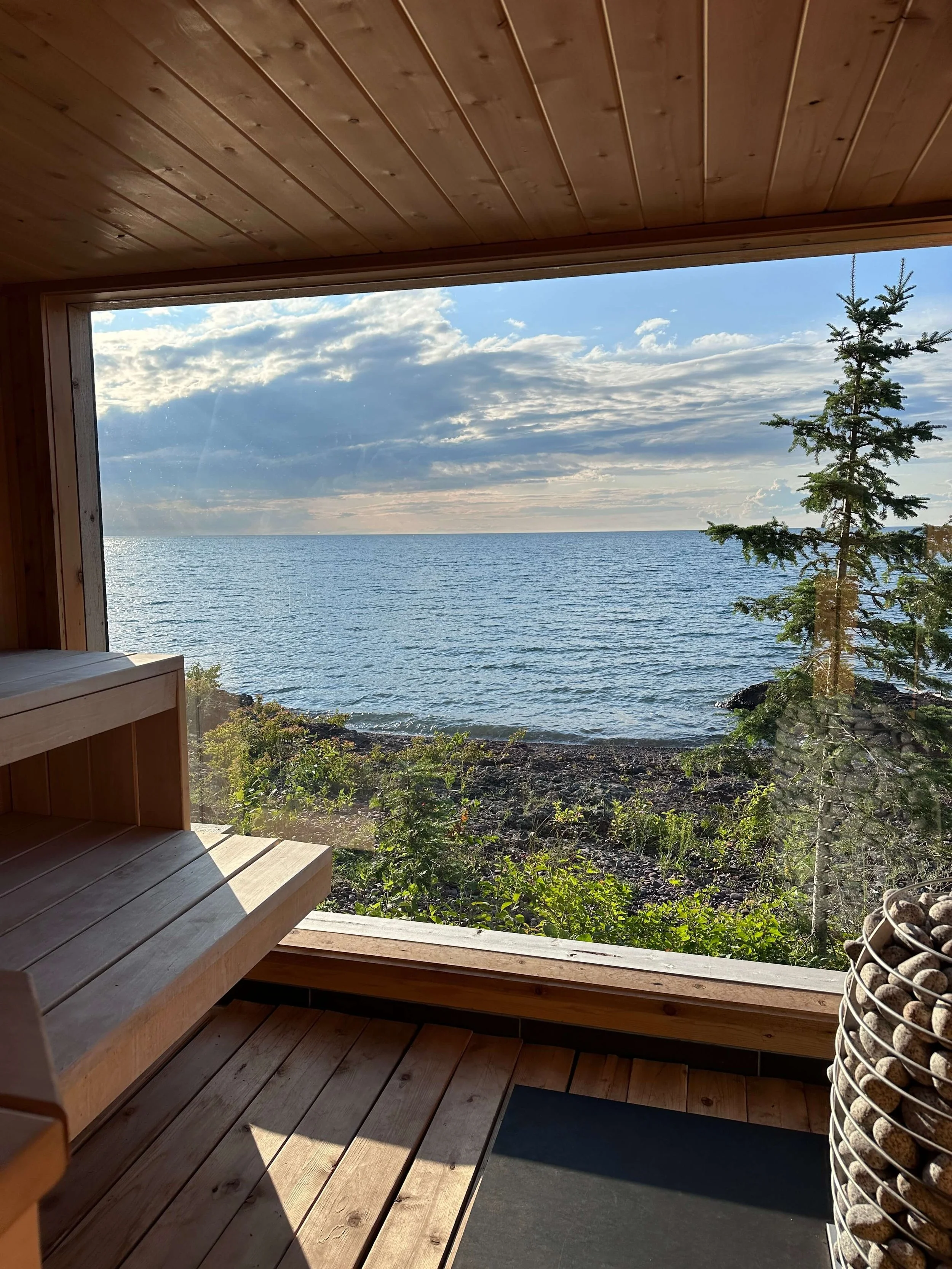
Private beachfront house near snowmobile trails with sauna in between Marquette and Munising (sleeps 10)
Cozy cabin on the Laughing Whitefish River (sleeps 6)
Cutest renovated cottage on Lake Superior (sleeps 4)
Cabin on Mi 550 near Sugarloaf Mountain and our favorite hiking trails at Harlow Lake
(sleeps 7)
Morgan Falls is another popular and easy waterfall to explore in Marquette. Currently, the road it is on near Marquette Mountain is under construction and they’re not accessible. I’ll be watching it closely because I really want to see these myself! Once the road is open again, I’ll be sure to update this post.
3 Waterfalls You Have to See Near Marquette, Michigan

